Description
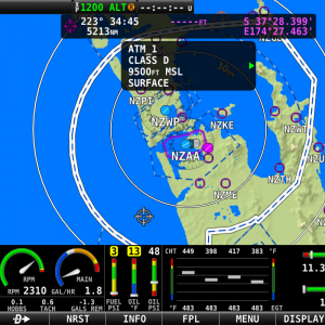
Airmate, the leading free Electronic Flight Bag, now provides a yearly subscription to its proven Aviation Database for your Dynon SkyView or your AFS avionics in the USA, covering contiguous USA, Alaska, Puerto Rico and Hawaii.The yearly subscription includes:
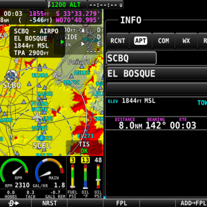
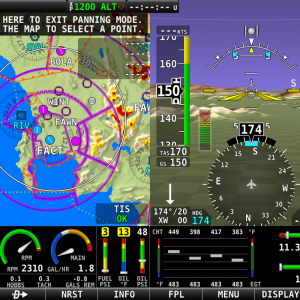
- Updates every 28 days at each AIRAC cycle for the database that includes more than 13,000 airfields, controlled and restricted airspaces, radio beacons, waypoints and obstacles.
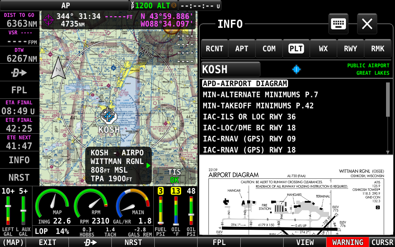
- Georeferenced FAA airport diagrams and approach charts. In addition to all FAA airport diagrams, the subscription includes more than 3,000 unofficial airport diagrams published by Airmate for airports without FAA diagram.
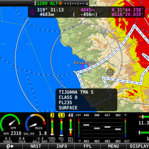
- United States, Alaska, Puerto Rico & Hawaii FAA Sectionals.
- FAA IFR Enroute charts (high and low).
After subscribing, please provide Airmate your avionic model and serial number, as the database is generated for your display unit. It could be used on both units for dual systems installation.
Exclusive feature for Airmate database subscribers: Using Airmate free iOS EFB, it is possible for training purposes to load SID, STAR, RNAV approaches for your flight and then export a flight plan including all approach waypoints to the SkyView. Airmate database includes all IFR approaches in the USA (*).
Download the Airmate/Dynon interworking manual to discover all features of Airmate and its Navigation Database for Dynon.
Download product flyer for Airmate USA Data for Dynon SkyView.
*Note: IFR data does not contain glideslope/glidepath data, Airmate data is not certified. The use of SID/STAR/RNAV approaches in IFR operation requires an IFR-certified GPS receiver connected to the SkyView system.

