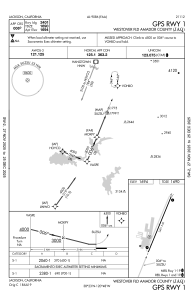
IAC chart of KJAQ
 Satellite view of KJAQ
Satellite view of KJAQ
Sorry, we have no imagery here.
Sorry, we have no imagery here.
Sorry, we have no imagery here.
Sorry, we have no imagery here.
Sorry, we have no imagery here.
Sorry, we have no imagery here.


KJAQ - Westover Fld Amador County
Located in Jackson, United States
ICAO - JAQ, IATA -
Data provided by AirmateGeneral information
Coordinates: N38°22'36" W120°47'38"
Elevation is 1693 feet MSL.
Magnetic variation is 16° East View others Airports in California
Operational data
Special qualification required
Current time UTC:
Current local time:
Weather
METAR: KJAQ 110335Z AUTO 34005KT 10SM CLR 18/09 A3018 RMK AO1 T01800085
Communications frequencies: [VIEW]
Runways:
| RWY identifier | QFU | Length (ft) | Width (ft) | Surface | LDA (ft) |
| 01 | 22° | 3401 | 60 | ASPH | |
| 19 | 202° | 3401 | 60 | ASPH | |
| H1 | 0° | 0 | 0 | UNK |
Airport contact information
Address: Jackson United States
Satellite view of KJAQ
Sorry, we have no imagery here.
Sorry, we have no imagery here.
Sorry, we have no imagery here.
Sorry, we have no imagery here.
Sorry, we have no imagery here.
Sorry, we have no imagery here.