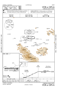
IAC chart of KAJO
 ADC chart of KAJO
 Satellite view of KAJO
ADC chart of KAJO
Satellite view of KAJO
Sorry, we have no imagery here.
Sorry, we have no imagery here.
Sorry, we have no imagery here.
Sorry, we have no imagery here.
Sorry, we have no imagery here.
Sorry, we have no imagery here.


KAJO - Corona Muni
Located in Corona, United States
ICAO - AJO, IATA -
Data provided by AirmateGeneral information
Coordinates: N33°53'52" W117°36'9"
Elevation is 533 feet MSL.
Magnetic variation is 14° East View others Airports in California
Operational data
Special qualification required
Current time UTC:
Current local time:
Weather
METAR: KAJO 301656Z AUTO 00000KT 10SM FEW022 BKN100 14/09 A3008 RMK AO2 SLP183 T01440089
Communications frequencies: [VIEW]
Runways:
| RWY identifier | QFU | Length (ft) | Width (ft) | Surface | LDA (ft) |
| 07 | 89° | 3200 | 60 | ASPH | |
| 25 | 269° | 3200 | 60 | ASPH |
Airport contact information
Address: Corona United States
Other aviation service providers
Flight schools

Satellite view of KAJO
Sorry, we have no imagery here.
Sorry, we have no imagery here.
Sorry, we have no imagery here.
Sorry, we have no imagery here.
Sorry, we have no imagery here.
Sorry, we have no imagery here.