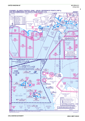
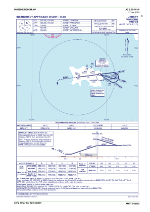
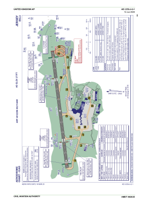
EGJJ - Jersey
Located in St. Helier,
ICAO - EGJJ, IATA - JER
Data provided by AirmateGeneral information
Coordinates: N49°12'28" W2°11'43"
Elevation is 277 feet MSL.
Magnetic variation is -2.15° East View others Airports in (unassigned)
Operational data
Special qualification required
Current time UTC:
Current local time:
Weather
METAR: EGJJ 020120Z AUTO 09018KT 9999 NCD 08/01 Q1017
TAF: TAF EGJJ 012255Z 0200/0209 08016KT CAVOK PROB40 TEMPO 0200/0209 08018G28KT
Communications frequencies: [VIEW]
Runways:
| RWY identifier | QFU | Length (ft) | Width (ft) | Surface | LDA (ft) |
| 08 | 0° | 5594 | 148 | UNK | |
| 26 | 0° | 5594 | 148 | UNK |
Airport contact information
Address: St. Helier
Handlers
Other aviation service providers
Flight schools
Channel Islands Aero Club (Jersey) Limited (The) T/A Jersey Aero Club
Channel Islands Aero Club (Jersey) Limited (The) T/A Jersey Aero Club
info@jerseyaeroclub.com01534743990
Satellite view of EGJJ
Sorry, we have no imagery here.
Sorry, we have no imagery here.
Sorry, we have no imagery here.
Sorry, we have no imagery here.
Sorry, we have no imagery here.
Sorry, we have no imagery here.


