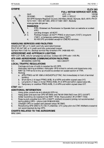
YGYM - Gympie
Located in Gympie, Australia
ICAO - YGYM, IATA - GYP
Data provided by AirmateGeneral information
Coordinates: S26°16'58" E152°42'7"
Elevation is 261 feet MSL.
Magnetic variation is 11° East View others Airports in Queensland
Operational data
Special qualification required
Current time UTC:
Current local time:
Weather at : - ( 0 km )
METAR: PADU 031706Z 36016G30KT 310V020 1SM -SN BR OVC006 01/00 A2966 RMK AO2 PK WND 33030/1703 CIG 004V010 OBS PK WND 01042/1703 P0000
Communications frequencies: [VIEW]
Runways:
| RWY identifier | QFU | Length (ft) | Width (ft) | Surface | LDA (ft) |
| 03 | 36° | 1955 | 98 | CLA | |
| 21 | 216° | 1955 | 98 | CLA | |
| 14 | 148° | 4600 | 59 | ASP | |
| 32 | 328° | 4600 | 59 | ASP | |
| 20 | 215° | 2653 | 208 | GRAS | |
| 02 | 35° | 2653 | 208 | GRAS |
Airport contact information
Address: Gympie Australia
Other aviation service providers
Aviation club (not for profit)
Satellite view of YGYM
Sorry, we have no imagery here.
Sorry, we have no imagery here.
Sorry, we have no imagery here.
Sorry, we have no imagery here.
Sorry, we have no imagery here.
Sorry, we have no imagery here.


