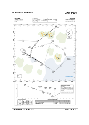
IAC chart of MDBH
 ADC chart of MDBH
 Satellite view of MDBH
ADC chart of MDBH
Satellite view of MDBH
Sorry, we have no imagery here.
Sorry, we have no imagery here.
Sorry, we have no imagery here.
Sorry, we have no imagery here.
Sorry, we have no imagery here.
Sorry, we have no imagery here.


MDBH - Maria Montez Intl
Located in Barahona, Dominican Republic
ICAO - MDBH, IATA - BRX
Data provided by AirmateGeneral information
Coordinates: N18°15'6" W71°7'19"
Elevation is 12 feet MSL.
View others Airports in Barahona Province
Operational data
Special qualification required
Current time UTC:
Current local time:
Weather
METAR: MDBH 091200Z 27006KT 9999 SCT018 BKN080 BKN300 24/22 Q1015
TAF: TAF MDBH 091000Z 0912/1012 00000KT 9999 FEW018 PROB30 0912/0918 7000 -RA BKN016 SCT070 BECMG 0914/0916 13012KT
Communications frequencies: [VIEW]
Runways:
| RWY identifier | QFU | Length (ft) | Width (ft) | Surface | LDA (ft) |
| 12 | 118° | 9843 | 148 | ASP | |
| 30 | 298° | 9843 | 148 | ASP |
Airport contact information
Address: Barahona Dominican Republic
Satellite view of MDBH
Sorry, we have no imagery here.
Sorry, we have no imagery here.
Sorry, we have no imagery here.
Sorry, we have no imagery here.
Sorry, we have no imagery here.
Sorry, we have no imagery here.