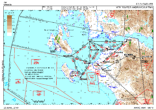
VAC chart of LGAD
 Satellite view of LGAD
Satellite view of LGAD
Sorry, we have no imagery here.
Sorry, we have no imagery here.
Sorry, we have no imagery here.
Sorry, we have no imagery here.
Sorry, we have no imagery here.


LGAD - Andravida
Located in Amalias, Greece
ICAO - LGAD, IATA - PYR
Data provided by AirmateGeneral information
Coordinates: N37°55'14" E21°17'32"
Elevation is 56 feet MSL.
View others Airports in Ilia
Operational data
Special qualification required
Current time UTC:
Current local time:
Weather
METAR: LGAD 100120Z 00000KT 9999 FEW020 07/05 Q1021
TAF: TAF LGAD 100200Z 1003/1012 32008KT 9999 FEW025 PROB30 TEMPO 1010/1012 5000 RA SCT025 BKN080
Communications frequencies: [VIEW]
Runways:
| RWY identifier | QFU | Length (ft) | Width (ft) | Surface | LDA (ft) |
| 16L | 165° | 10328 | 148 | UNK | |
| 34R | 345° | 10328 | 148 | UNK |
Airport contact information
Address: Amalias Greece
Satellite view of LGAD
Sorry, we have no imagery here.
Sorry, we have no imagery here.
Sorry, we have no imagery here.
Sorry, we have no imagery here.
Sorry, we have no imagery here.