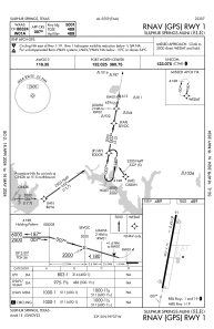
IAC chart of KSLR
 ADC chart of KSLR
 Satellite view of KSLR
ADC chart of KSLR
Satellite view of KSLR
Sorry, we have no imagery here.
Sorry, we have no imagery here.
Sorry, we have no imagery here.
Sorry, we have no imagery here.
Sorry, we have no imagery here.
Sorry, we have no imagery here.


KSLR - Sulphur Springs Muni
Located in Sulphur Springs, United States
ICAO - SLR, IATA -
Data provided by AirmateGeneral information
Coordinates: N33°9'35" W95°37'16"
Elevation is 489 feet MSL.
Magnetic variation is 03° East View others Airports in Texas
Operational data
Special qualification required
Current time UTC:
Current local time:
Weather
METAR: KSLR 020055Z AUTO 15012G20KT 7SM OVC022 24/20 A2959 RMK AO2 T02370201 PWINO
Communications frequencies: [VIEW]
Runways:
| RWY identifier | QFU | Length (ft) | Width (ft) | Surface | LDA (ft) |
| 01 | 10° | 5001 | 75 | CONC | |
| 19 | 190° | 5001 | 75 | CONC |
Airport contact information
Address: Sulphur Springs United States
Other aviation service providers
Flight schools

Satellite view of KSLR
Sorry, we have no imagery here.
Sorry, we have no imagery here.
Sorry, we have no imagery here.
Sorry, we have no imagery here.
Sorry, we have no imagery here.
Sorry, we have no imagery here.