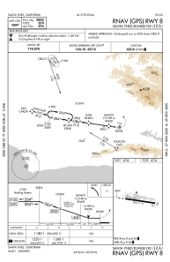
IAC chart of KIZA
 ADC chart of KIZA
 Satellite view of KIZA
ADC chart of KIZA
Satellite view of KIZA
Sorry, we have no imagery here.
Sorry, we have no imagery here.
Sorry, we have no imagery here.
Sorry, we have no imagery here.
Sorry, we have no imagery here.
Sorry, we have no imagery here.


KIZA - Santa Ynez/Kunkle Fld
Located in Santa Ynez, United States
ICAO - IZA, IATA - SQA
Data provided by AirmateGeneral information
Coordinates: N34°36'25" W120°4'32"
Elevation is 674 feet MSL.
Magnetic variation is 14° East View others Airports in California
Operational data
Special qualification required
Current time UTC:
Current local time:
Weather
METAR: KIZA 051355Z AUTO 00000KT M1/4SM UP FG OVC001 04/04 A3023 RMK AO2
Communications frequencies: [VIEW]
Runways:
| RWY identifier | QFU | Length (ft) | Width (ft) | Surface | LDA (ft) |
| 08 | 98° | 2803 | 75 | ASPH | |
| 26 | 278° | 2803 | 75 | ASPH |
Airport contact information
Address: Santa Ynez United States
Satellite view of KIZA
Sorry, we have no imagery here.
Sorry, we have no imagery here.
Sorry, we have no imagery here.
Sorry, we have no imagery here.
Sorry, we have no imagery here.
Sorry, we have no imagery here.