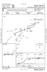
IAC chart of KFRR
 ADC chart of KFRR
 Satellite view of KFRR
ADC chart of KFRR
Satellite view of KFRR
Sorry, we have no imagery here.
Sorry, we have no imagery here.
Sorry, we have no imagery here.
Sorry, we have no imagery here.
Sorry, we have no imagery here.
Sorry, we have no imagery here.


KFRR - Front Royal-Warren County
Located in Front Royal, United States
ICAO - FRR, IATA - FRR
Data provided by AirmateGeneral information
Coordinates: N38°55'3" W78°15'12"
Elevation is 703 feet MSL.
Magnetic variation is -10° East View others Airports in Virginia
Operational data
Special qualification required
Current time UTC:
Current local time:
Weather
METAR: KFRR 011335Z AUTO 34009G14KT 10SM SCT036 07/00 A3006 RMK AO1
Communications frequencies: [VIEW]
Runways:
| RWY identifier | QFU | Length (ft) | Width (ft) | Surface | LDA (ft) |
| 10 | 87° | 3008 | 75 | ASPH | |
| 28 | 267° | 3008 | 75 | ASPH |
Airport contact information
Address: Front Royal United States
Other aviation service providers
Flight schools

Satellite view of KFRR
Sorry, we have no imagery here.
Sorry, we have no imagery here.
Sorry, we have no imagery here.
Sorry, we have no imagery here.
Sorry, we have no imagery here.
Sorry, we have no imagery here.