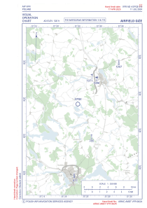


EPGE - Gize
Located in , Poland
ICAO - , IATA -
Data provided by AirmateGeneral information
Coordinates: N53°59'0" E22°24'8"
Elevation is 500 feet MSL.
View others Airports in Podlachia
Operational data
Special qualification required
Current time UTC:
Current local time:
Weather at : - ( 0 km )
METAR: UUBC 210313Z 00000MPS 0600 0300SE R31/0600U PRFG FEW002 06/06 Q1023 R31/CLRD60 NOSIG RMK QBB060 QFE750/1000
Communications frequencies: [VIEW]
Runways:
| RWY identifier | QFU | Length (ft) | Width (ft) | Surface | LDA (ft) |
| 13 | 135° | 2297 | 164 | GRASS | |
| 31 | 315° | 2297 | 164 | GRASS |
Airport contact information
Address: Poland