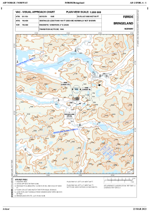
VAC chart of ENBL
 IAC chart of ENBL
 ADC chart of ENBL
 Satellite view of ENBL

IAC chart of ENBLADC chart of ENBL
Satellite view of ENBL
Sorry, we have no imagery here.
Sorry, we have no imagery here.
Sorry, we have no imagery here.
Sorry, we have no imagery here.
Sorry, we have no imagery here.
Sorry, we have no imagery here.


ENBL - Bringeland
Located in Foerde, Norway
ICAO - ENBL, IATA - FDE
Data provided by AirmateGeneral information
Coordinates: N61°23'28" E5°45'25"
Elevation is 1045 feet MSL.
Magnetic variation is 1.6° East View others Airports in Sogn og Fjordane
Operational data
Special qualification required
Current time UTC:
Current local time:
Weather
METAR: ENBL 091720Z VRB01KT 0800 RA FG VV003 05/04 Q1007
TAF: TAF ENBL 091700Z 0918/0924 VRB04KT 8000 -RA SCT010 BKN018 TEMPO 0918/0924 0200 RADZ FG VV001
Communications frequencies: [VIEW]
Runways:
| RWY identifier | QFU | Length (ft) | Width (ft) | Surface | LDA (ft) |
| 07 | 0° | 3642 | 98 | UNK | |
| 25 | 0° | 3642 | 98 | UNK |
Airport contact information
Address: Foerde Norway
Other aviation service providers
Flight schools

Aviation club (not for profit)

Satellite view of ENBL
Sorry, we have no imagery here.
Sorry, we have no imagery here.
Sorry, we have no imagery here.
Sorry, we have no imagery here.
Sorry, we have no imagery here.
Sorry, we have no imagery here.