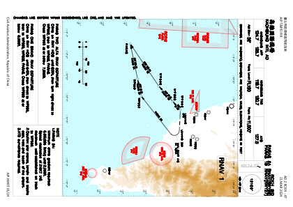
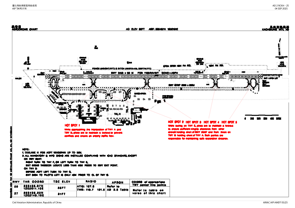
RCKH - Kaohsiung Intl
Located in Kaohsiung, Taiwan, Province of China
ICAO - RCKH, IATA - KHH
Data provided by AirmateGeneral information
Coordinates: N22°34'37" E120°21'1"
Elevation is 31 feet MSL.
View others Airports in Kaohsiung (municipality)
Operational data
Special qualification required
Current time UTC:
Current local time:
Weather
METAR: RCKH 212100Z 36004KT 340V040 9999 FEW015 BKN075 21/18 Q1014 NOSIG RMK A2995
TAF: TAF RCKH 211700Z 2118/2224 33005KT 9999 FEW012 BKN032 TEMPO 2118/2124 06005KT 4000 BR TEMPO 2204/2210 26008KT TEMPO 2218/2224 06005KT 4000 BR
Communications frequencies: [VIEW]
Runways:
| RWY identifier | QFU | Length (ft) | Width (ft) | Surface | LDA (ft) |
| 09 | 92° | 10335 | 197 | CON | |
| 27 | 272° | 10335 | 197 | CON |
Airport contact information
Address: Kaohsiung Taiwan, Province of China


