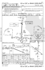
KDOV - Dover Afb
Located in Dover, United States
ICAO - DOV, IATA - DOV
Data provided by AirmateGeneral information
Coordinates: N39°7'46" W75°27'57"
Elevation is 28 feet MSL.
Magnetic variation is -12° East View others Airports in Delaware
Operational data
Special qualification required
Current time UTC:
Current local time:
Weather
TAF: TAF KDOV 031600Z 0316/0422 30012G18KT 9999 FEW040 QNH3026INS TEMPO 0316/0320 30012G20KT BECMG 0320/0321 30012G20KT 9999 SCT040 QNH3028INS BECMG 0404/0405 30009KT 9999 FEW040 QNH3026INS WND 26009KT AFT 0410 BECMG 0415/0416 21015G25KT 9999 SCT040 BKN070 QNH2997INS TEMPO 0421/0422 21020G35KT TX05/0319Z TNM05/0411Z
Communications frequencies: [VIEW]
Runways:
| RWY identifier | QFU | Length (ft) | Width (ft) | Surface | LDA (ft) |
| 01 | 3° | 9602 | 150 | CONC | |
| 19 | 183° | 9602 | 150 | CONC | |
| 14 | 126° | 12903 | 150 | OTHER | |
| 32 | 306° | 12903 | 150 | OTHER |
Airport contact information
Address: Dover United States


