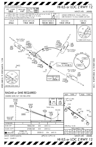
KMIB - Minot Afb
Located in Minot, United States
ICAO - MIB, IATA -
Data provided by AirmateGeneral information
Coordinates: N48°24'57" W101°21'29"
Elevation is 1666 feet MSL.
Magnetic variation is 07° East View others Airports in North Dakota
Operational data
Special qualification required
Current time UTC:
Current local time:
Weather
METAR: KMIB 211955Z 32005KT 10SM BKN110 M08/M11 A3023 RMK AO2A SLP273 T10771114
TAF: TAF KMIB 211700Z 2117/2223 29009KT 9999 SCT070 BKN120 QNH3023INS BECMG 2119/2120 VRB06KT 9999 BKN070 620703 QNH3019INS BECMG 2201/2202 15009KT 9999 BKN050 BKN100 620505 QNH3009INS TEMPO 2210/2214 9000 -SN BKN020 620205 BECMG 2213/2214 33006KT 9999 SCT015 OVC025 620253 QNH3010INS TXM05/2121Z TNM12/2200Z
Communications frequencies: [VIEW]
Runways:
| RWY identifier | QFU | Length (ft) | Width (ft) | Surface | LDA (ft) |
| 12 | 125° | 13198 | 300 | OTHER | |
| 30 | 305° | 13198 | 300 | OTHER |
Airport contact information
Address: Minot United States


